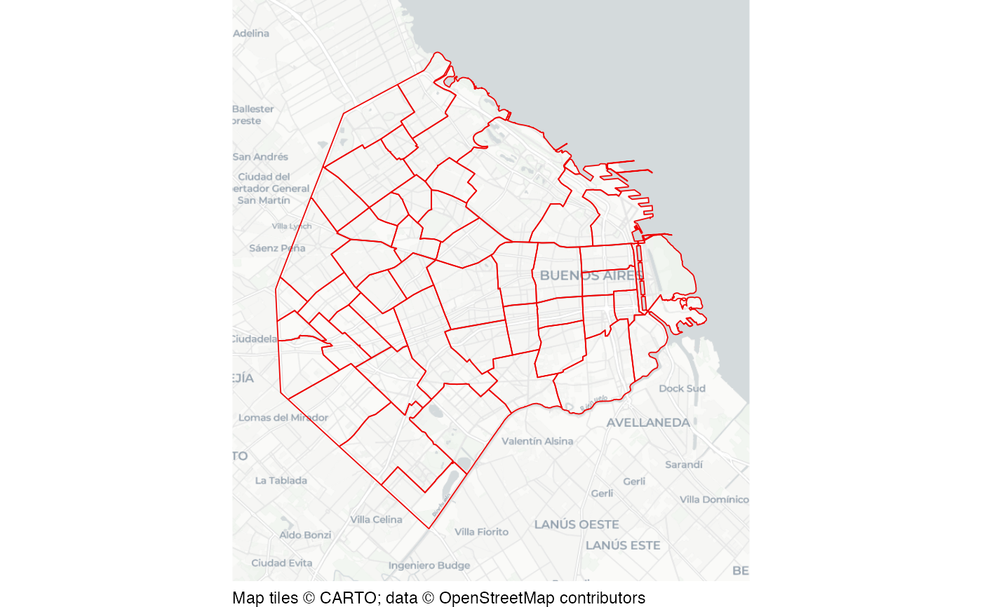
Buenos Aires barrio boundaries
buenos_aires_barrios.RdA dataset of barrio (neighbourhood) boundaries in the City of Buenos Aires, Argentina.
Format
A data frame with 48 rows and 5 columns.
- id
Polygon identifier
- nombre
Neighbourhood name
- comuna
Commune number
- area_metro
Area in square meters
- geometry
Polygon representing barrio boundary
This dataset is also available as a stand-alone file in geopackage format at https://mpjashby.github.io/crimemappingdata/buenos_aires_barrios.gpkg.
Licence: CC BY 2.5 Argentina https://creativecommons.org/licenses/by/2.5/ar/.
Source
City of Buenos Aires https://data.buenosaires.gob.ar/dataset/barrios.
See also
buenos_aires_robbery: Buenos Aires robberies in 2023.
buenos_aires_subte_lines: Buenos Aires Subte (metro) lines.
buenos_aires_subte_stations: Buenos Aires Subte (metro) stations.
retiro_homicides: Retiro homicides in 2023.
Examples
# Basemap tiles require internet access unless already cached.
if (interactive() || identical(Sys.getenv("IN_PKGDOWN"), "true")) {
  sfhotspot::hotspot_map(
    buenos_aires_barrios,
    basemap_type = "cartolight",
    colour = "red2",
    fill = NA,
    size = 0.3
  )
}