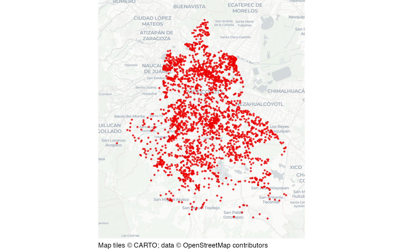
Car jackings in Mexico City
cdmx_car_jacking.RdDataset of car jackings ("robo de vehiculo de servicio particular con violencia") in Mexico City in 2019.
Format
Simple features (SF) object containing 2,811 rows and 4 columns:
- fecha_hechos
Date and time of the offence
- longitud
Longitude
- latitud
Latitude
- geometry
SF point geometry
This dataset is also available as a stand-alone file in geopackage format at https://mpjashby.github.io/crimemappingdata/cdmx_car_jacking.gpkg.
Licence: Creative Commons Attribution https://creativecommons.org/licenses/by/4.0/
See also
cdmx_alcaldias: Alcaldías (boroughs) of Mexico City.
Examples
# Basemap tiles require internet access unless already cached.
if (interactive() || identical(Sys.getenv("IN_PKGDOWN"), "true")) {
  # Exclude the known zero-coordinate placeholders.
  xy <- sf::st_coordinates(cdmx_car_jacking)
  map_data <- cdmx_car_jacking[xy[, 1] != 0 | xy[, 2] != 0, ]
  sfhotspot::hotspot_map(
    map_data,
    basemap_type = "cartolight",
    colour = "red2",
    size = 0.6
  )
}