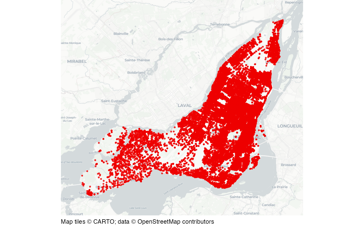
Damage to property in Montreal, 2016 to 2025
montreal_mefait.RdRecorded incidents of damage to property (French: méfait) in the City of Montreal, Quebec, Canada. The source data are displaced in space and time to protect privacy.
Format
A data frame with 54,040 rows and 5 columns.
- categorie
Always "méfait"
- date
Date of offence
- quart
Whether the crime occurred in the daytime (jour), evening (soir) or at night (nuit)
- x
Easting in EPSG:2950, metres
- y
Northing in EPSG:2950, metres
This dataset is also available as a stand-alone file in gzipped CSV format at https://mpjashby.github.io/crimemappingdata/montreal_mefait.csv.gz.
Licence: CC BY 4.0 https://creativecommons.org/licenses/by/4.0/.
Source
: Service de police de la Ville de Montreal https://donnees.montreal.ca/dataset/actes-criminels.
Examples
# Basemap tiles require internet access unless already cached.
if (interactive() || identical(Sys.getenv("IN_PKGDOWN"), "true")) {
  map_data <- sf::st_as_sf(
    montreal_mefait,
    coords = c("x", "y"),
    crs = "EPSG:2950"
  )

  sfhotspot::hotspot_map(
    map_data,
    basemap_type = "cartolight",
    colour = "red2",
    size = 0.6
  )
}