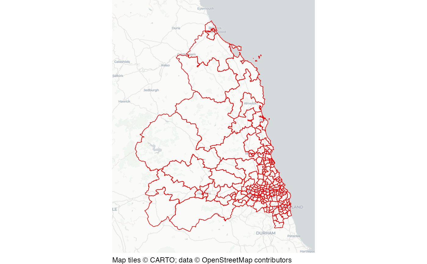
Local government wards of Northumbria
northumbria_wards.RdDataset of ward boundaries in Northumbria, England, in 2022.
Format
A simple features (SF) object with 177 rows and 3 columns:
- ward_code
Government Statistical Service code for each ward
- ward_name
Ward name
- geometry
SF polygon geometry
This dataset is also available as a stand-alone file in geopackage format at https://mpjashby.github.io/crimemappingdata/northumbria_wards.gpkg.
Licence: Open Government Licence
See also
northumbria_asb: Anti-social behaviour in Northumbria.
northumbria_districts: Local authority districts of Northumbria.
northumbria_ward_pop: Northumbria ward population.
Examples
# Basemap tiles require internet access unless already cached.
if (interactive() || identical(Sys.getenv("IN_PKGDOWN"), "true")) {
  sfhotspot::hotspot_map(
    northumbria_wards,
    basemap_type = "cartolight",
    colour = "red2",
    fill = NA,
    size = 0.3
  )
}