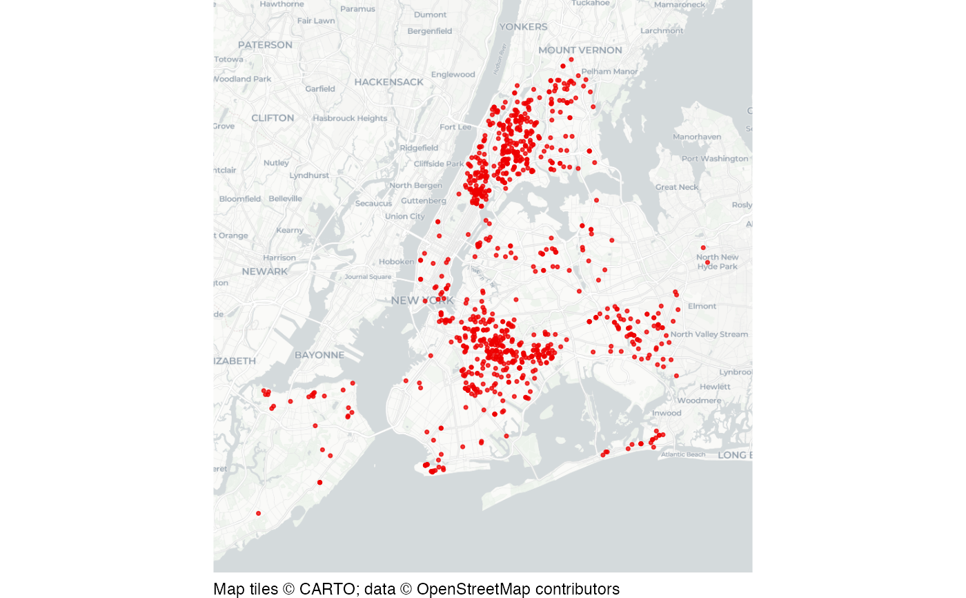
Shootings in New York City in 2019
nyc_shootings.RdDataset of shootings in New York City recorded by the New York City Police Department (NYPD) in 2019.
Format
A data frame with 967 rows and six columns:
- incident_key
Numeric reference number for each incident
- boro
Borough name
- occur_date
Date offence occurred
- murder
Whether the shooting was fatal or not (logical)
- longitude
Longitude
- latitude
Latitude
This dataset is also available as a stand-alone file in CSV format at https://mpjashby.github.io/crimemappingdata/nyc_shootings.csv.
Licence: NYC Open Data Law
Source
New York City Police Department https://data.cityofnewyork.us/Public-Safety/NYPD-Shooting-Incident-Data-Historic-/833y-fsy8
See also
bronx_shootings: Shootings in the Bronx in 2019.
nyc_homicides: Homicides in New York City, 2016 to 2018.
nyc_precincts: New York City Police precinct boundaries.
Examples
# Basemap tiles require internet access unless already cached.
if (interactive() || identical(Sys.getenv("IN_PKGDOWN"), "true")) {
  map_data <- sf::st_as_sf(
    nyc_shootings,
    coords = c("longitude", "latitude"),
    crs = "EPSG:4326"
  )

  sfhotspot::hotspot_map(
    map_data,
    basemap_type = "cartolight",
    colour = "red2",
    size = 0.6
  )
}