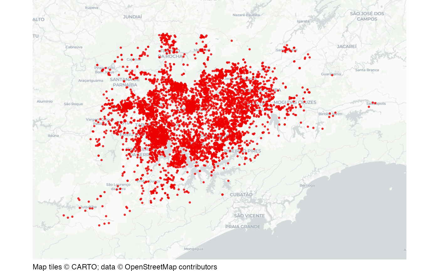
Homicides in the region of Sao Paulo
sao_paulo_homicides.RdDataset of homicides recorded by police in the immediate region of Sao Paulo from 2017 to 2022.
Format
A data frame containing 6,214 rows and 7 columns:
- year
Year
- date
Homicide date
- municipality
Municipality
- location_type
Type of location
- victim_sex
Victim sex
- latitude
Latitude
- longitude
Longitude
A version of this dataset is also available as a stand-alone file at https://mpjashby.github.io/crimemappingdata/sao_paulo_homicides.xlsx.
The original dataset has been cleaned to remove homicides with missing co-ordinates.
Licence: public domain
See also
sao_paulo_muni: Municipality boundaries in São Paulo.
Examples
# Basemap tiles require internet access unless already cached.
if (interactive() || identical(Sys.getenv("IN_PKGDOWN"), "true")) {
  map_data <- sf::st_as_sf(
    sao_paulo_homicides,
    coords = c("longitude", "latitude"),
    crs = "EPSG:4326"
  )

  sfhotspot::hotspot_map(
    map_data,
    basemap_type = "cartolight",
    colour = "red2",
    size = 0.6
  )
}