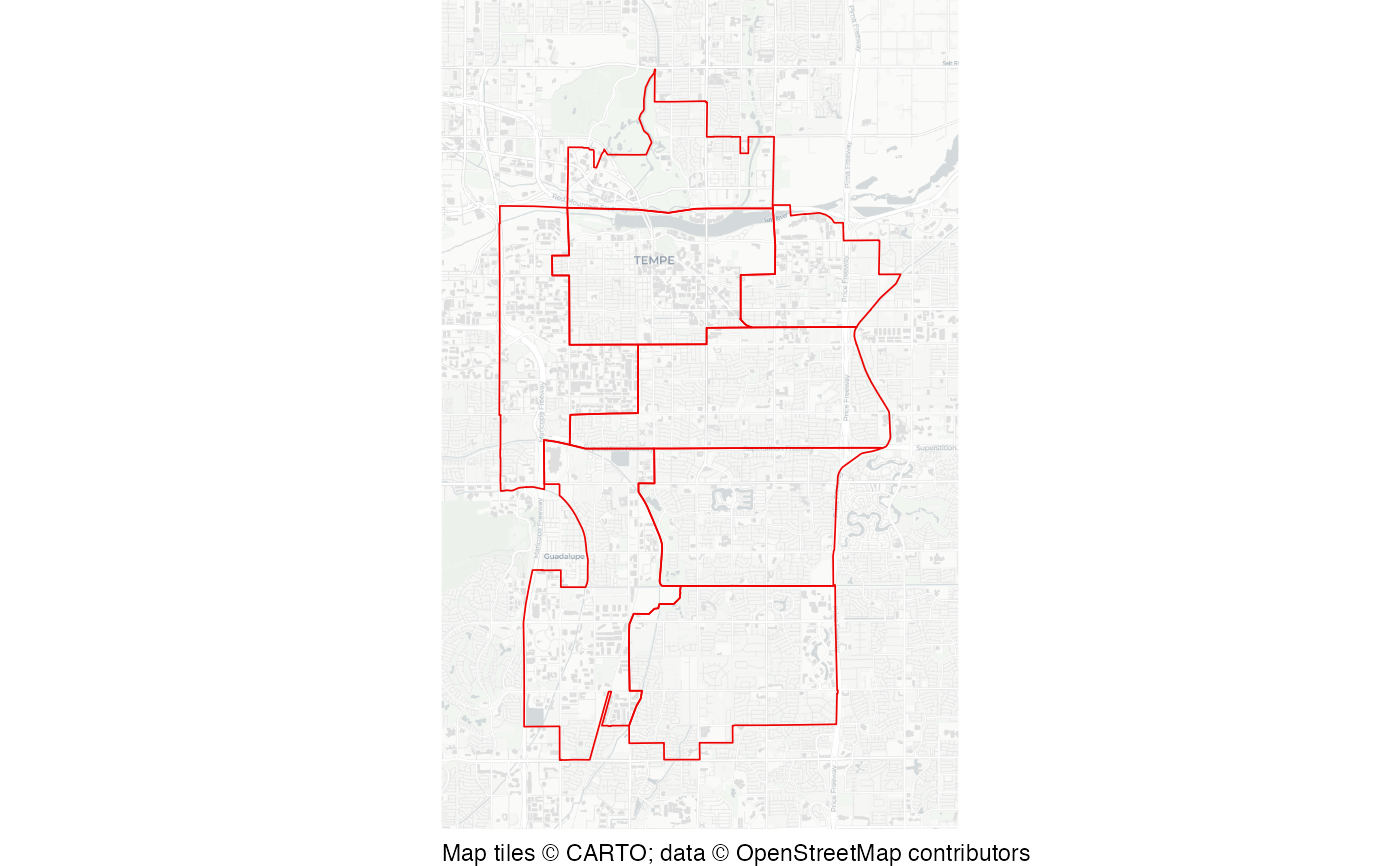
Character Area boundaries in Tempe, Arizona
tempe_character_areas.RdDataset showing the boundaries of groups of neighbourhoods that "contain common design, land use and commercial characteristics".
Format
An SF object containing 8 rows and 3 columns:
- area_number
Numeric identifier for each area
- area_name
Name of each area
- geometry
SF polygon geometry of each area
A version of this dataset is also available in Geography Markup Language (GML) format as a stand-alone file at https://mpjashby.github.io/crimemappingdata/tempe_character_areas.gml.
Licence: Creative Commons Attribution (CC-BY)
See also
tempe_opioid_calls: Calls to opioid overdoses in Tempe, Arizona.
Examples
# Basemap tiles require internet access unless already cached.
if (interactive() || identical(Sys.getenv("IN_PKGDOWN"), "true")) {
  sfhotspot::hotspot_map(
    tempe_character_areas,
    basemap_type = "cartolight",
    colour = "red2",
    fill = NA,
    size = 0.3
  )
}